

 USC Architecture Xpo
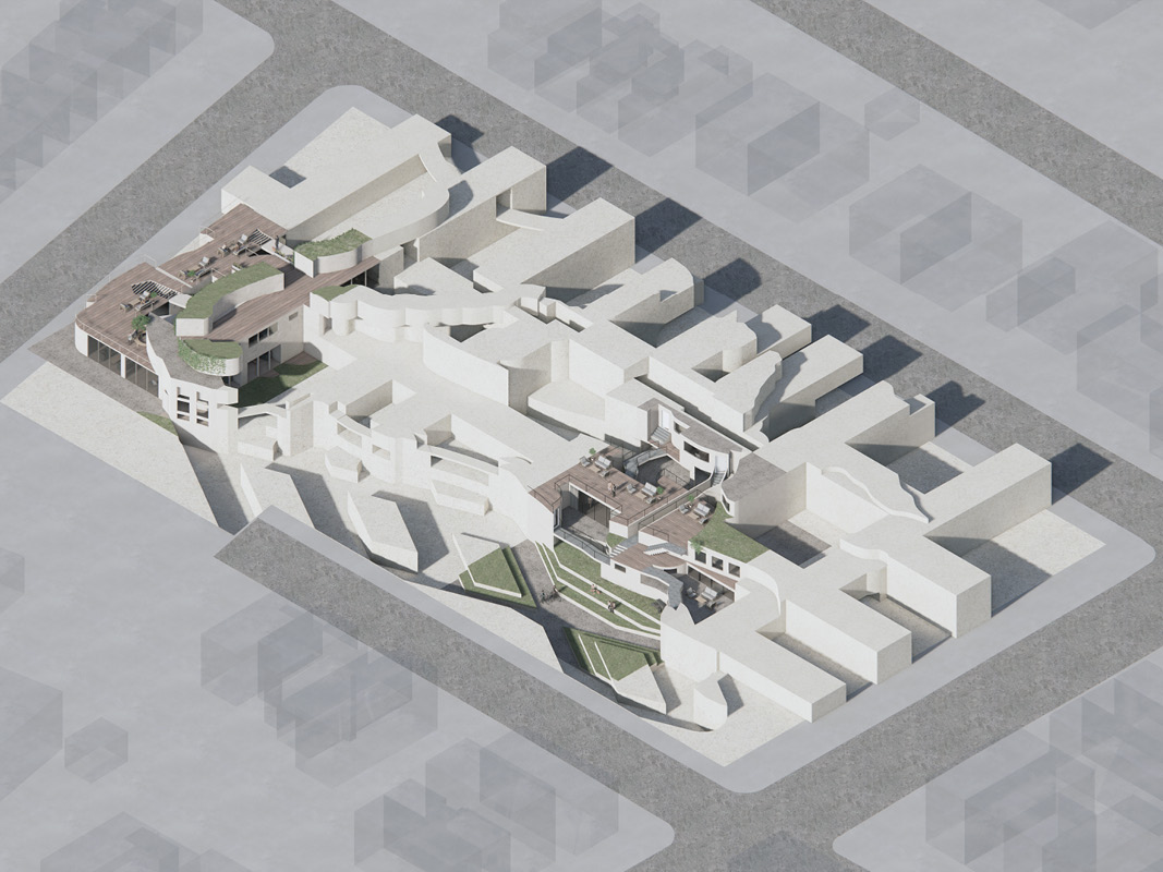
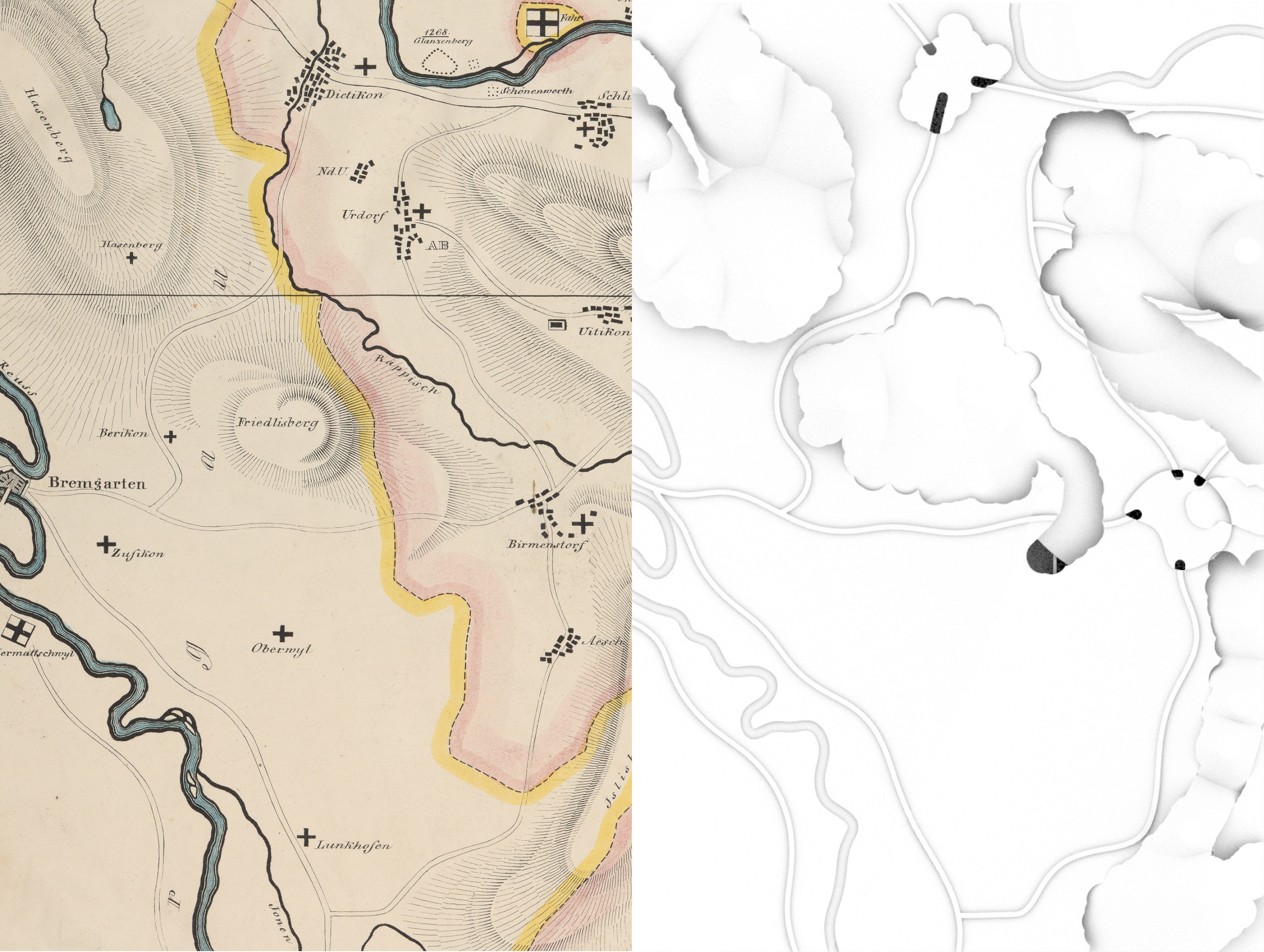
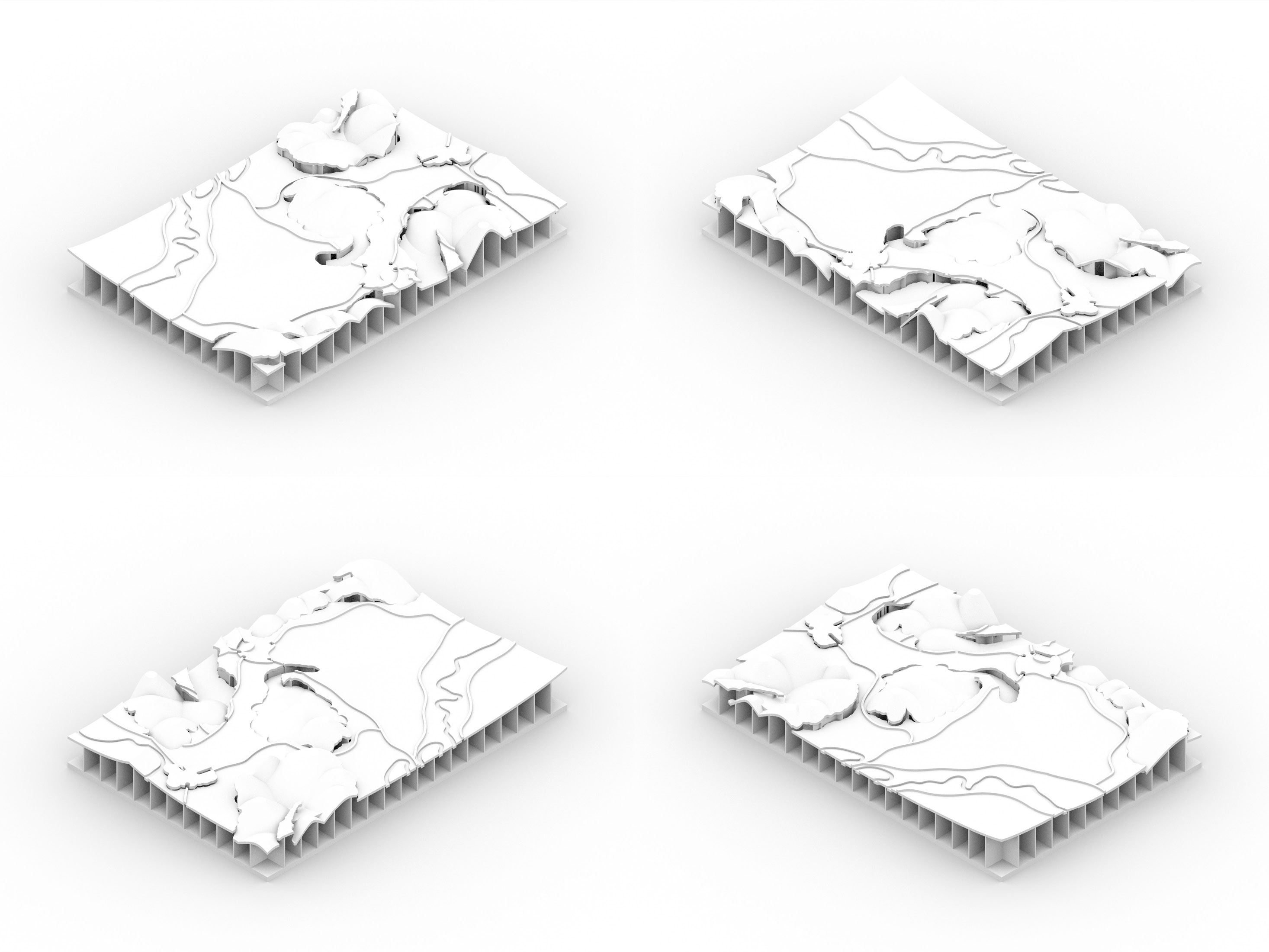
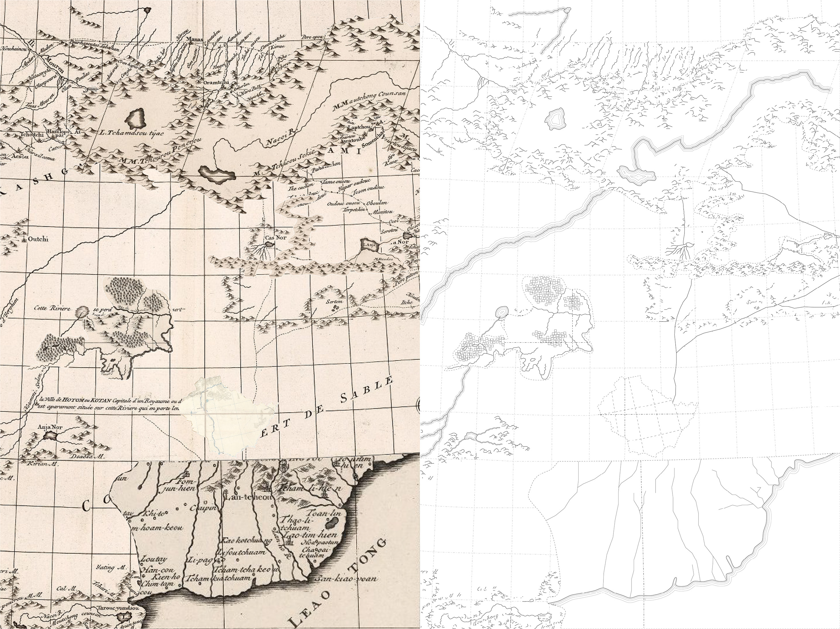
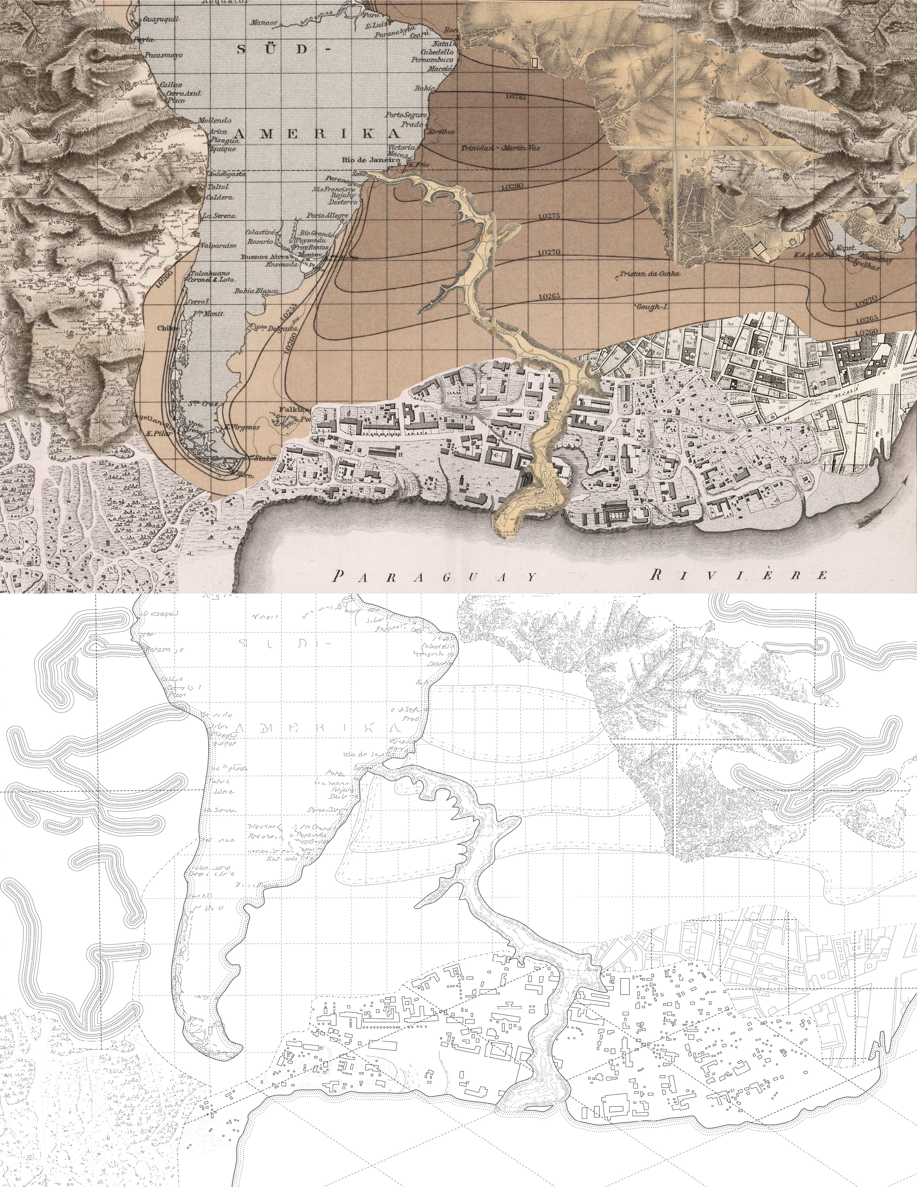
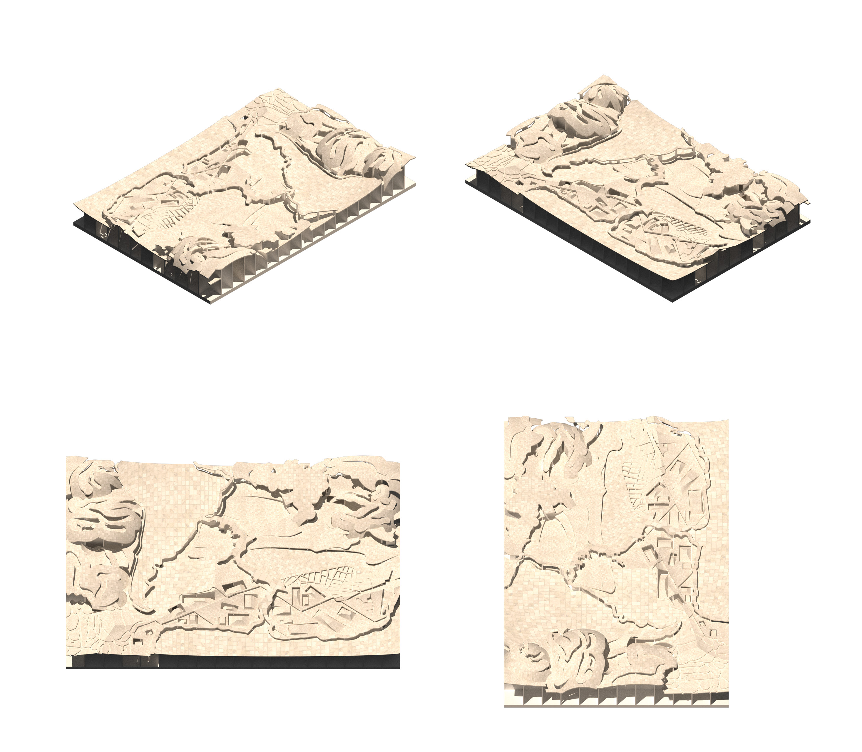
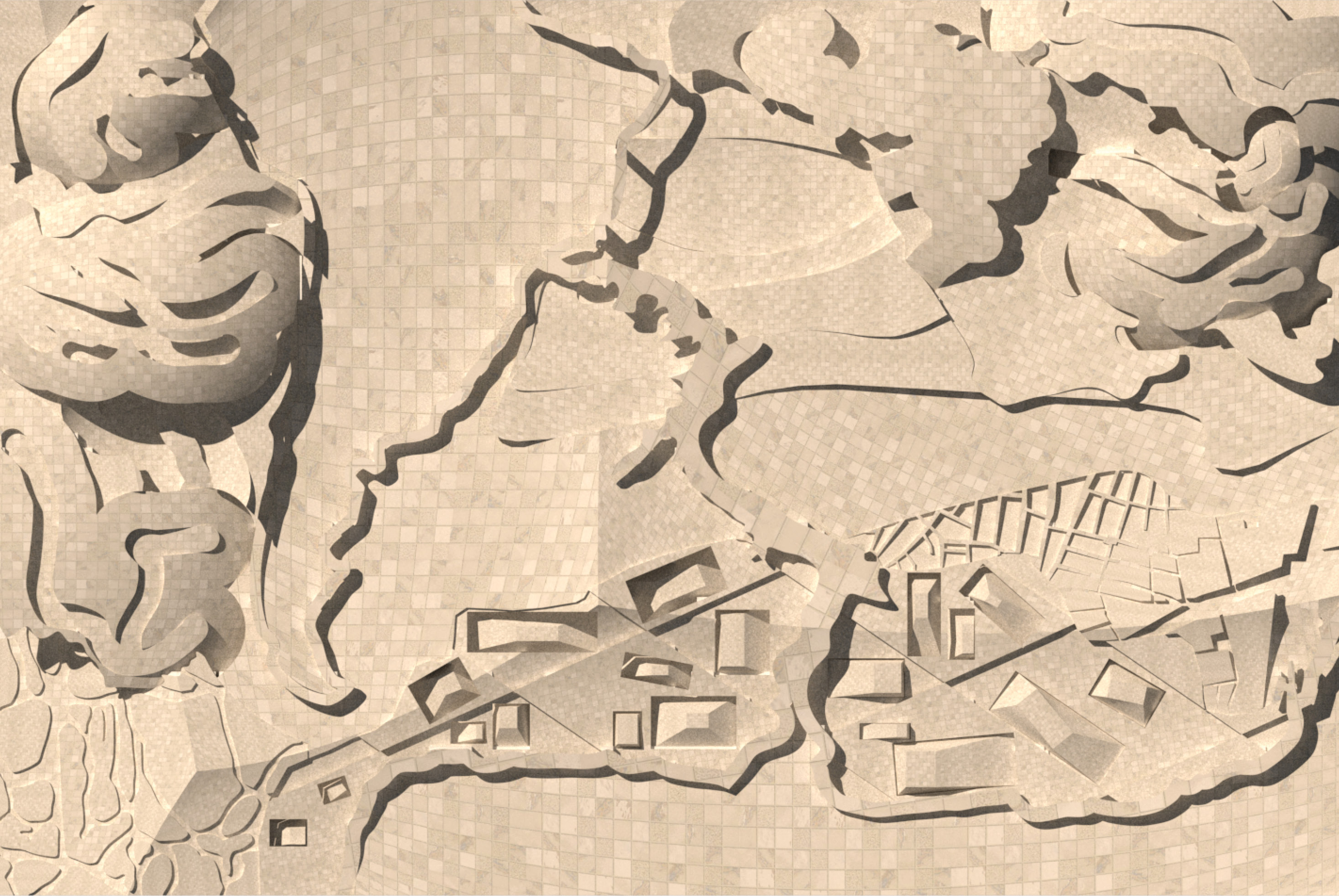
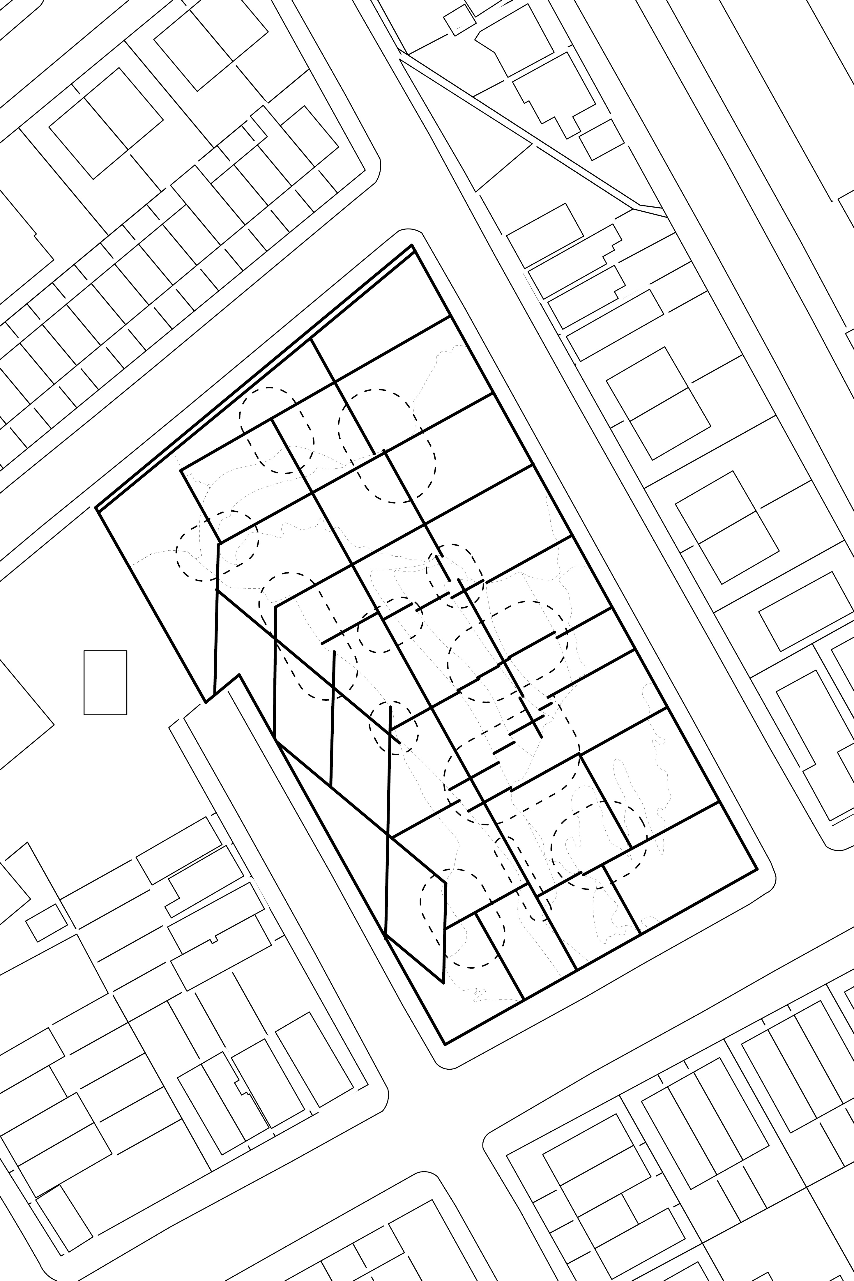
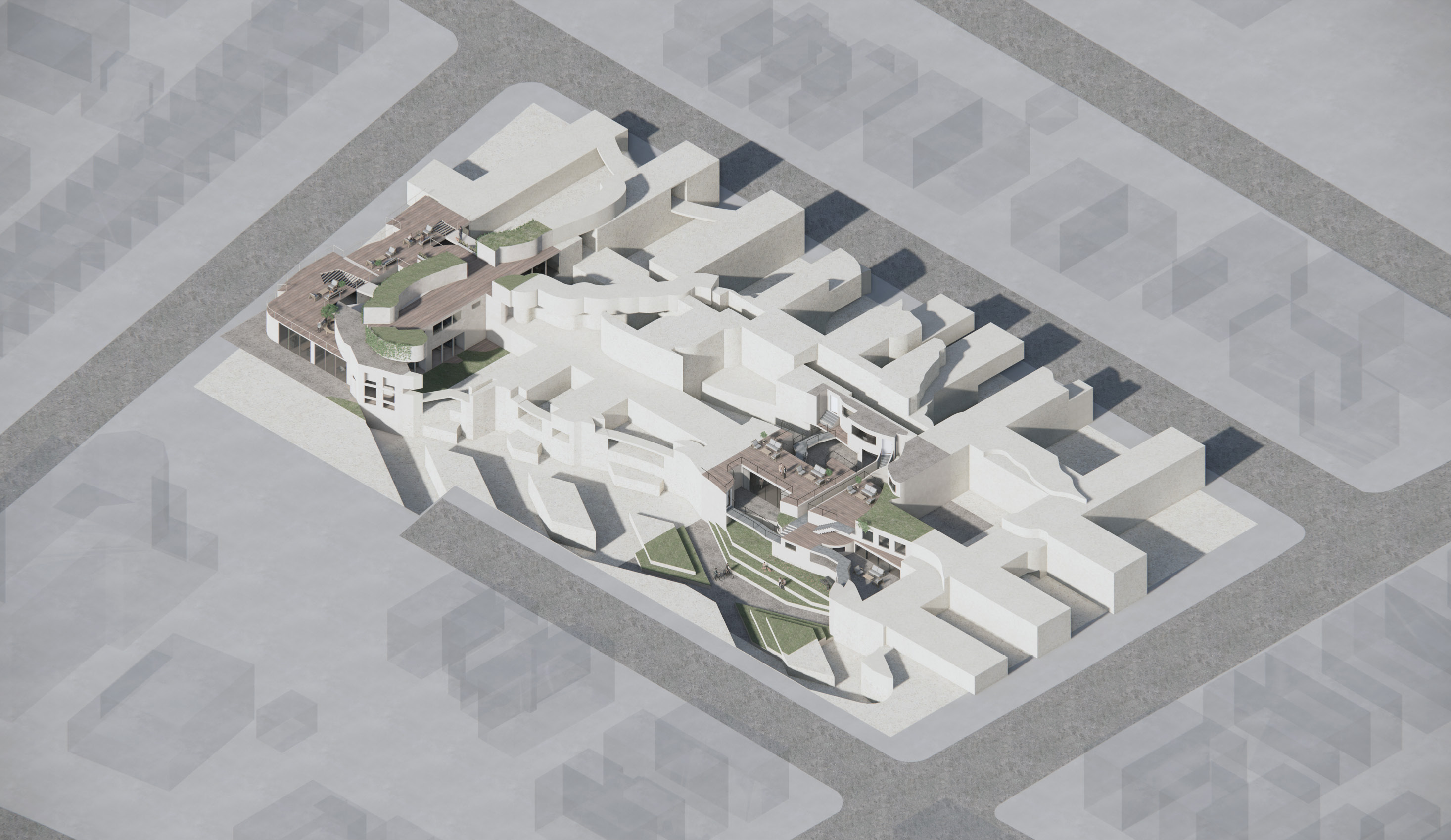
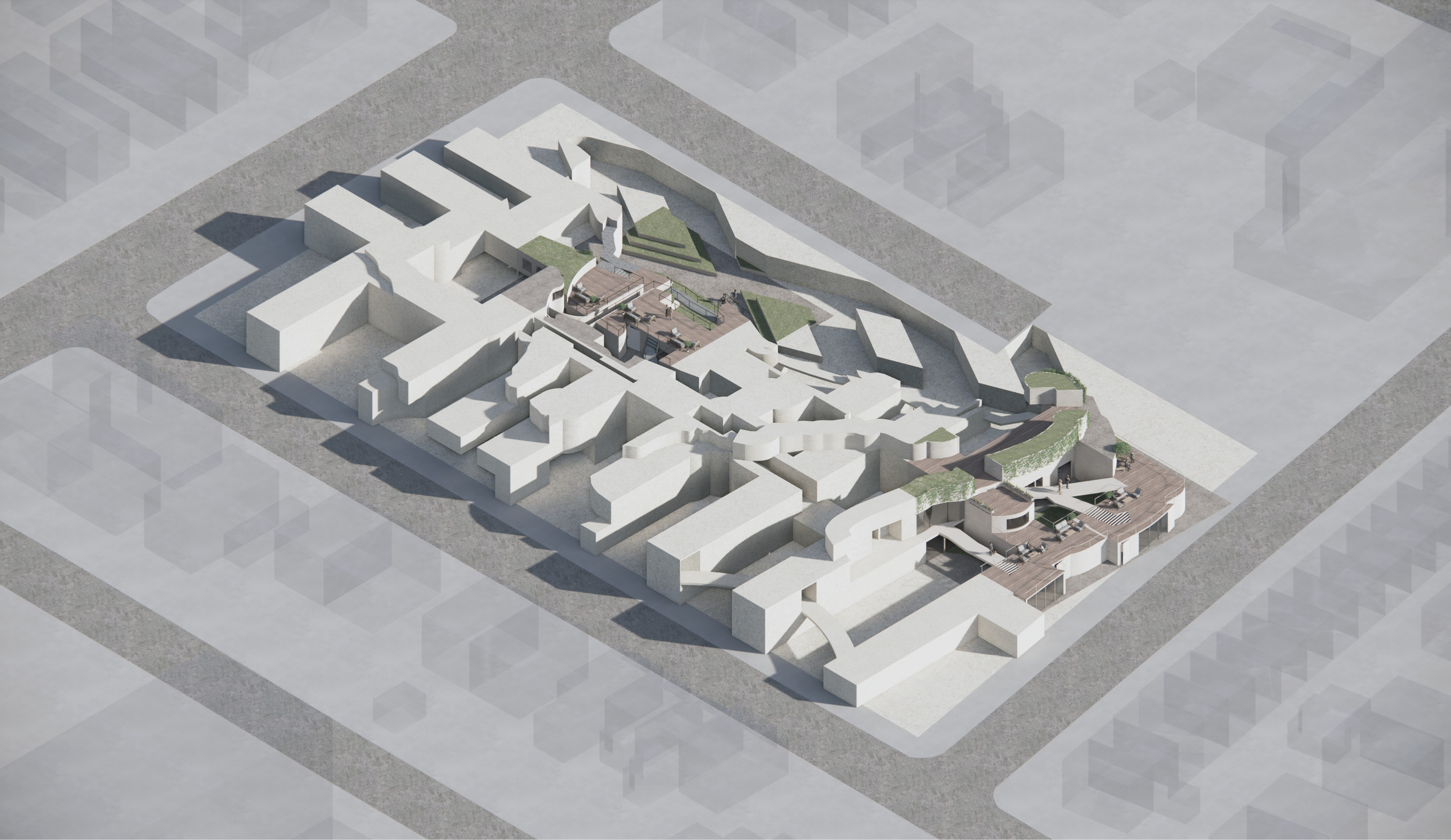
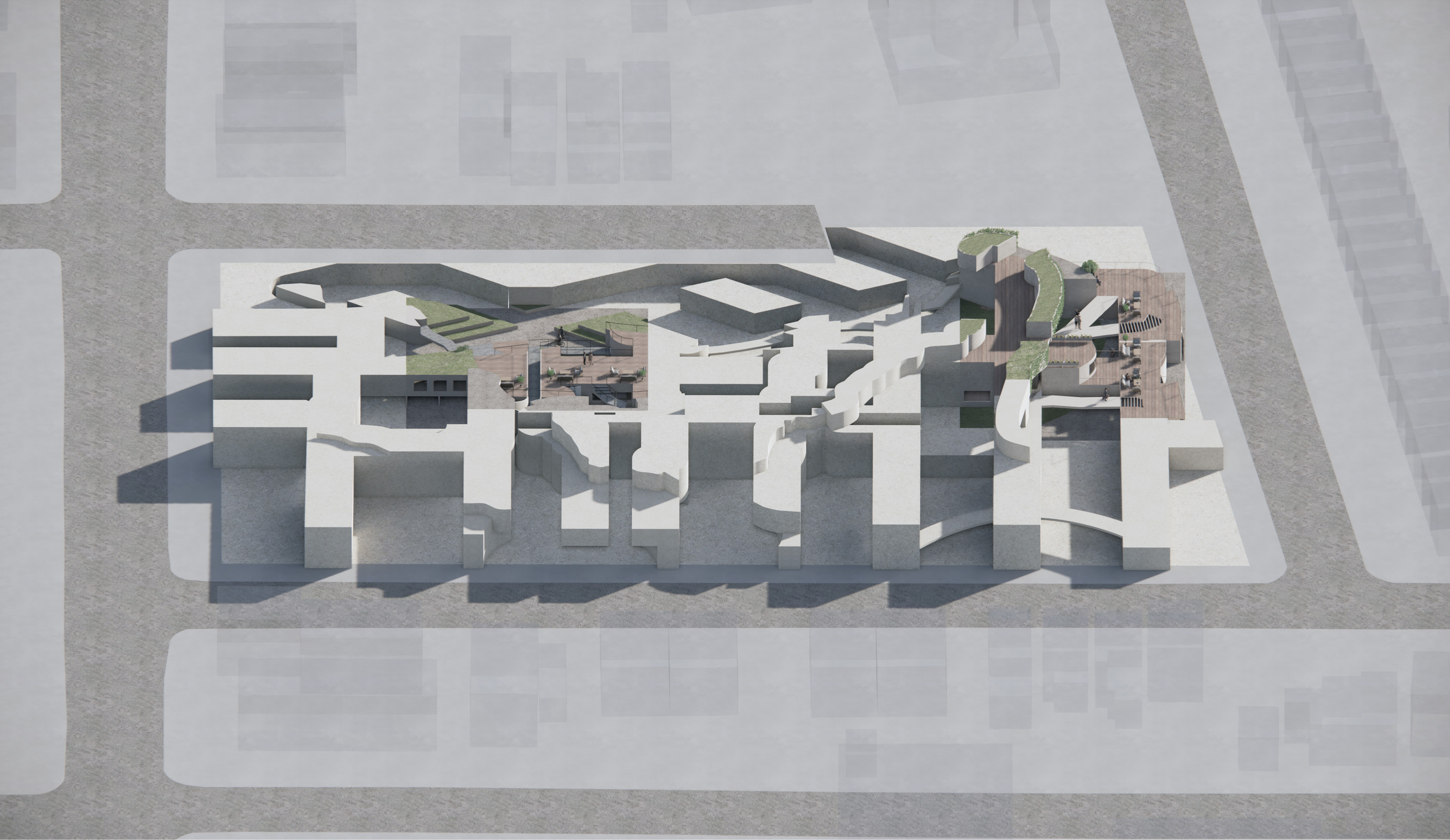
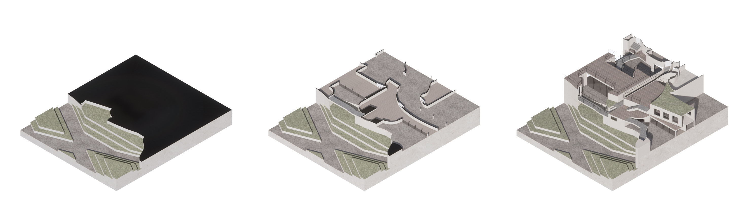
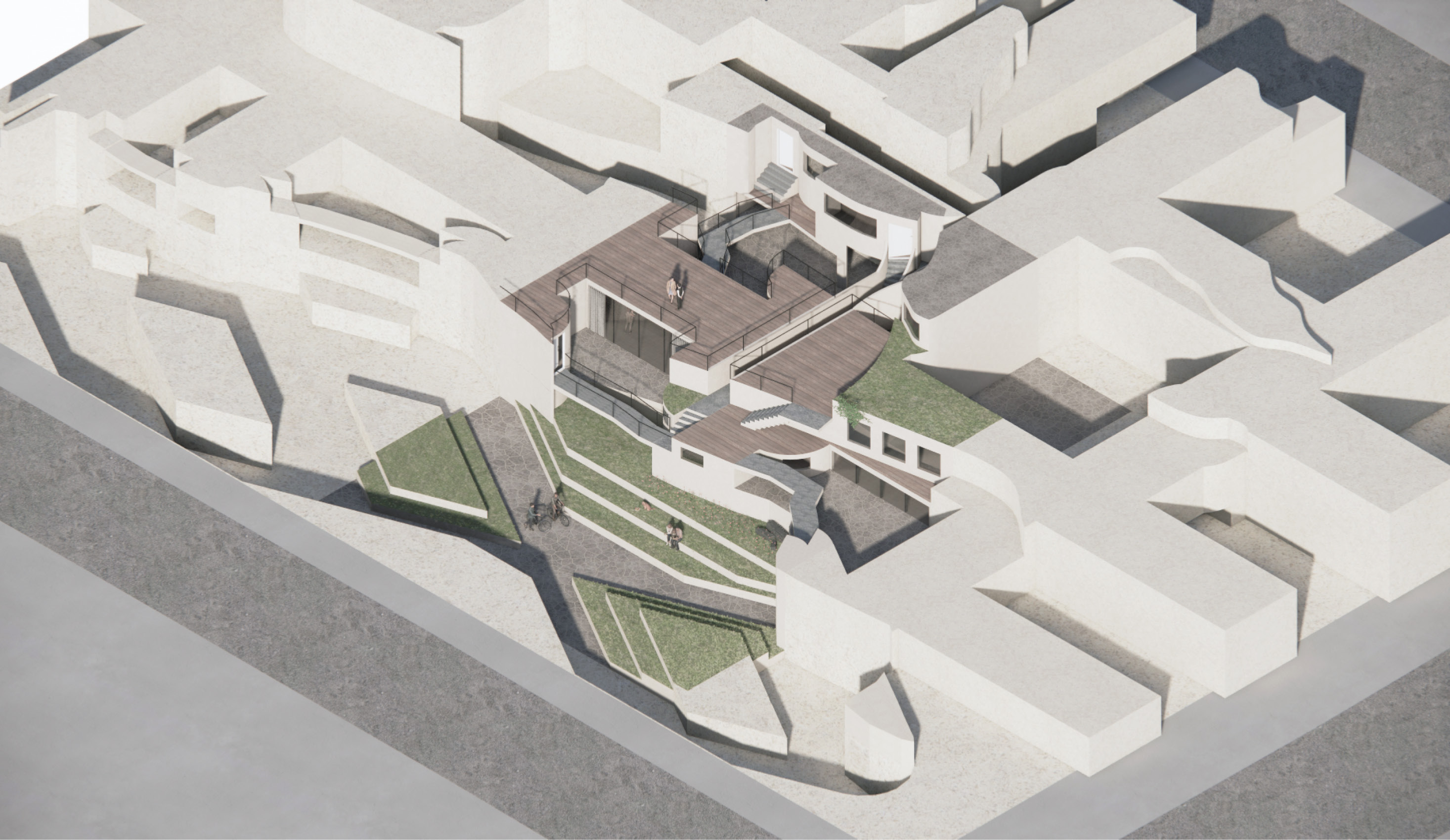
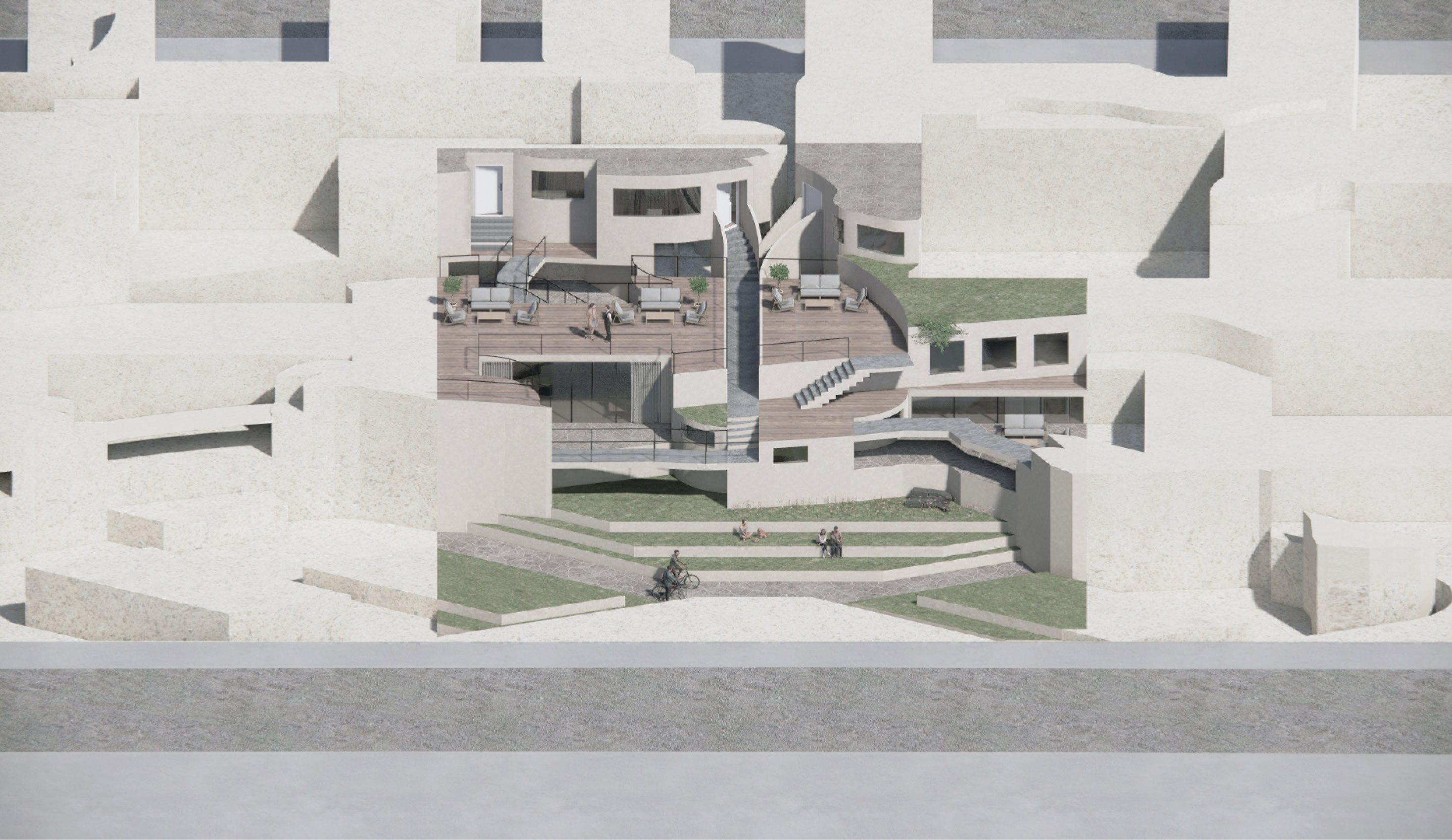
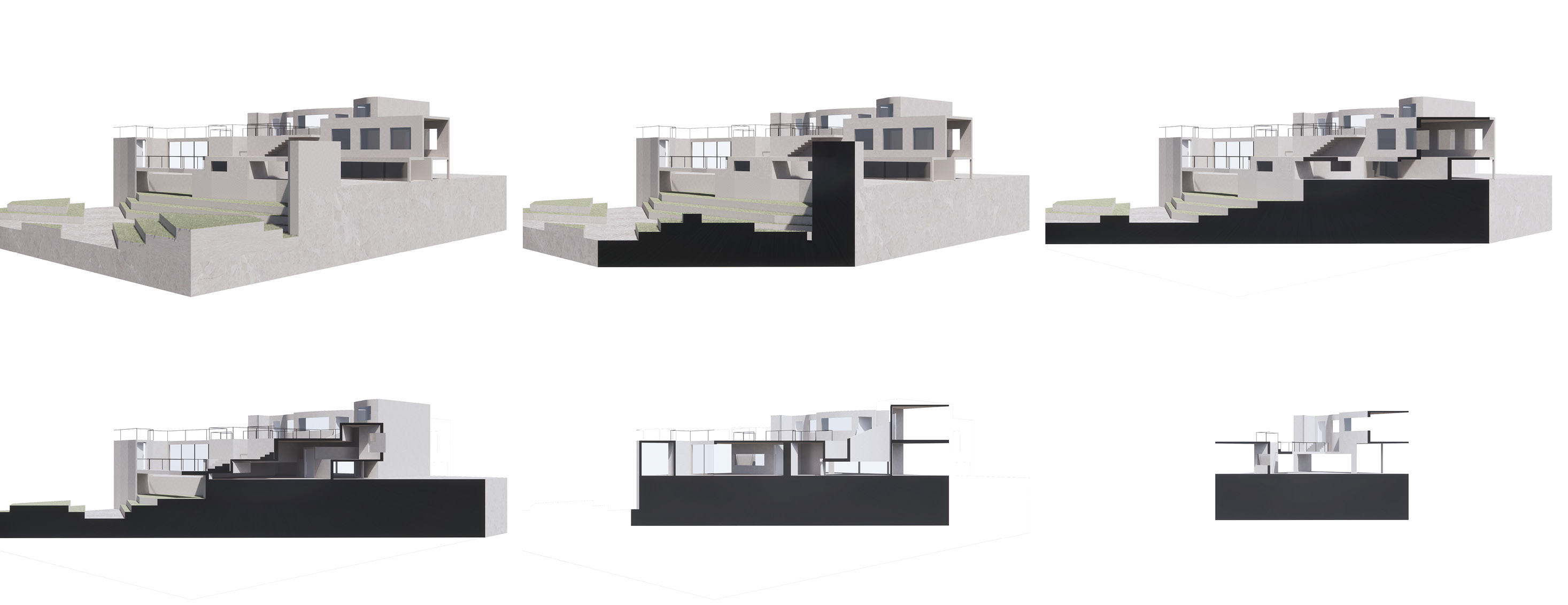
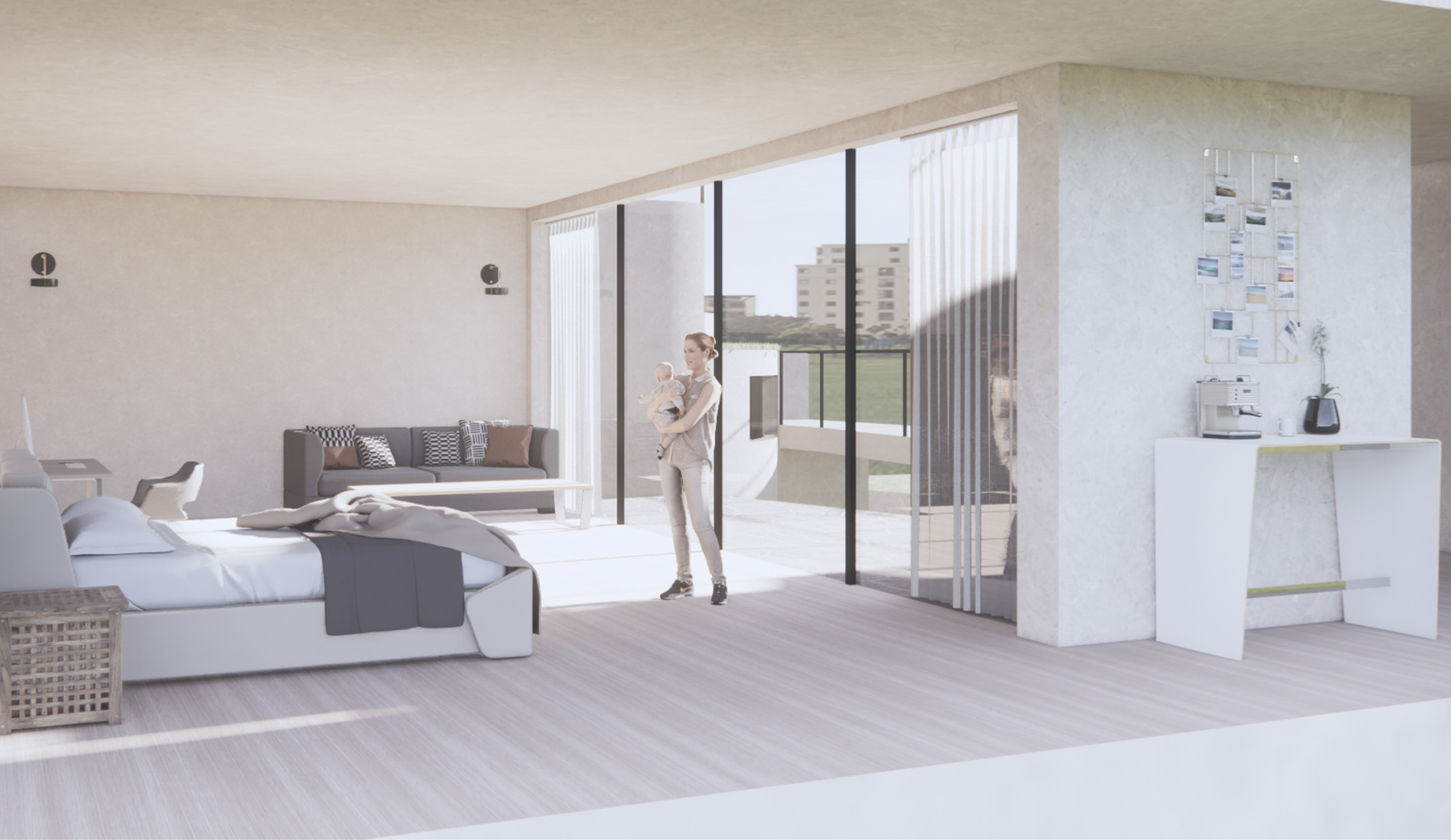
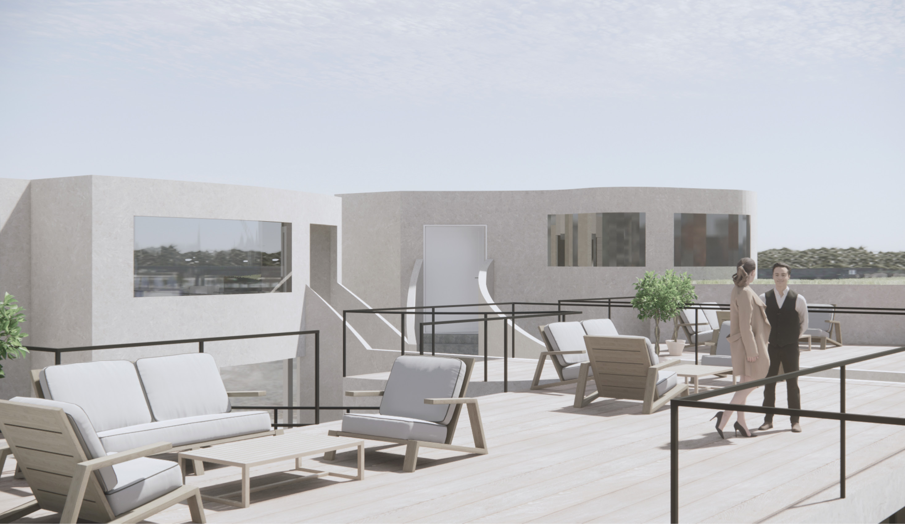
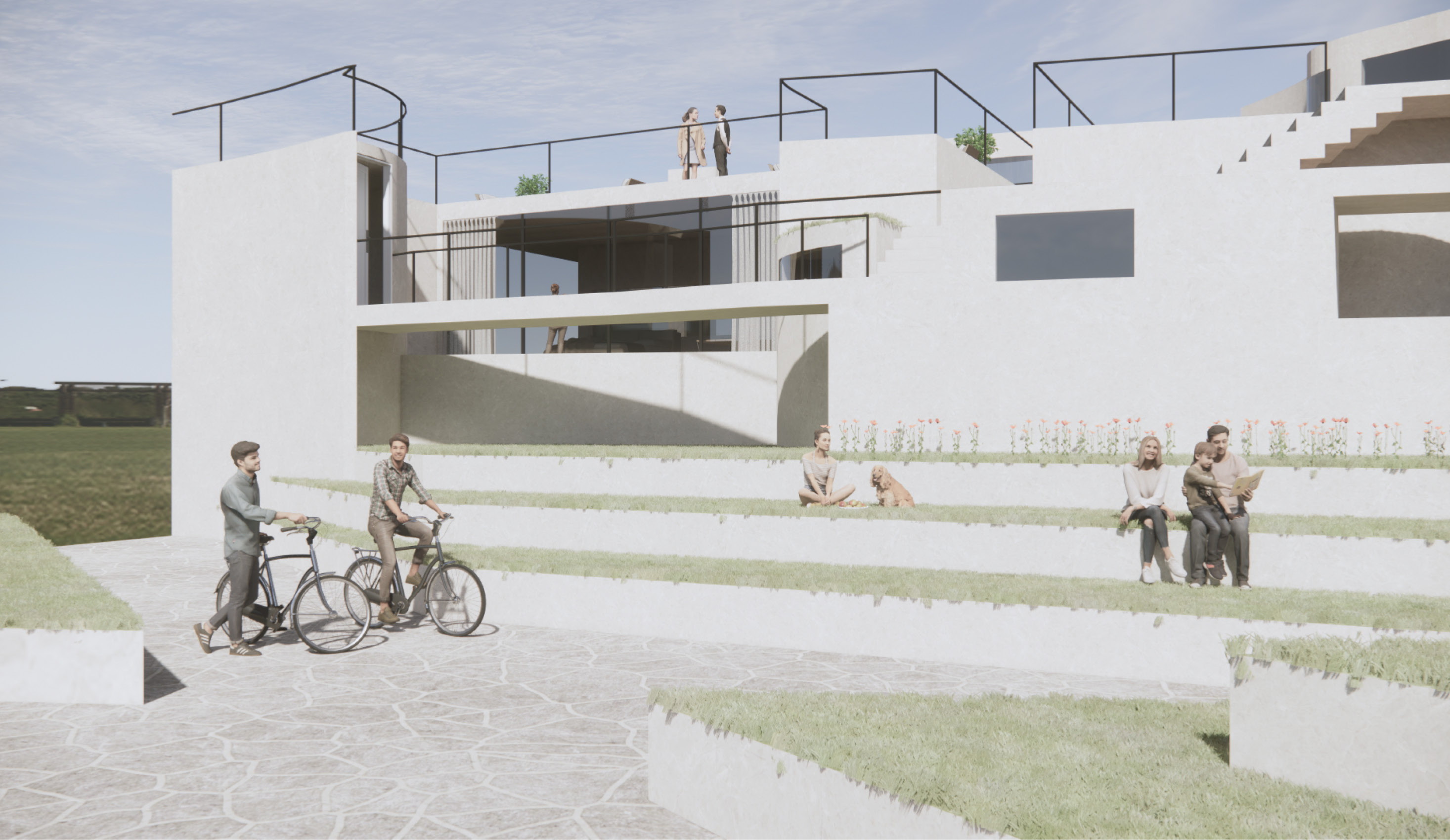
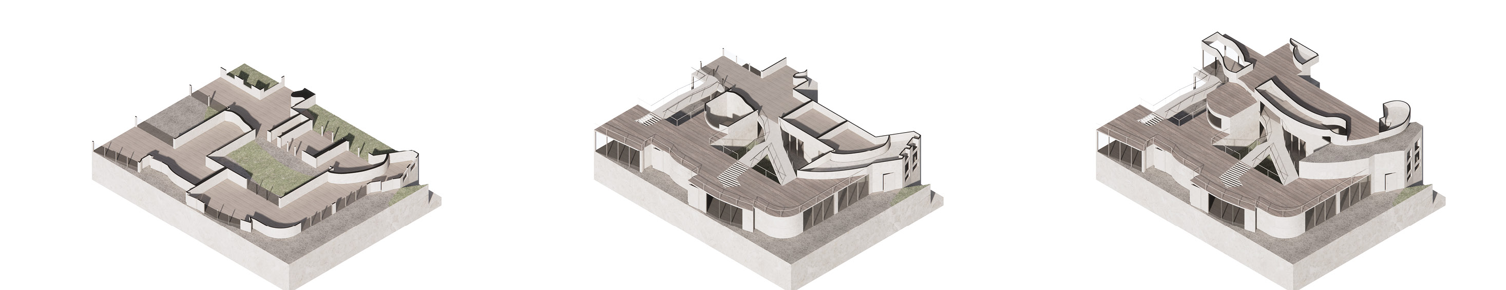
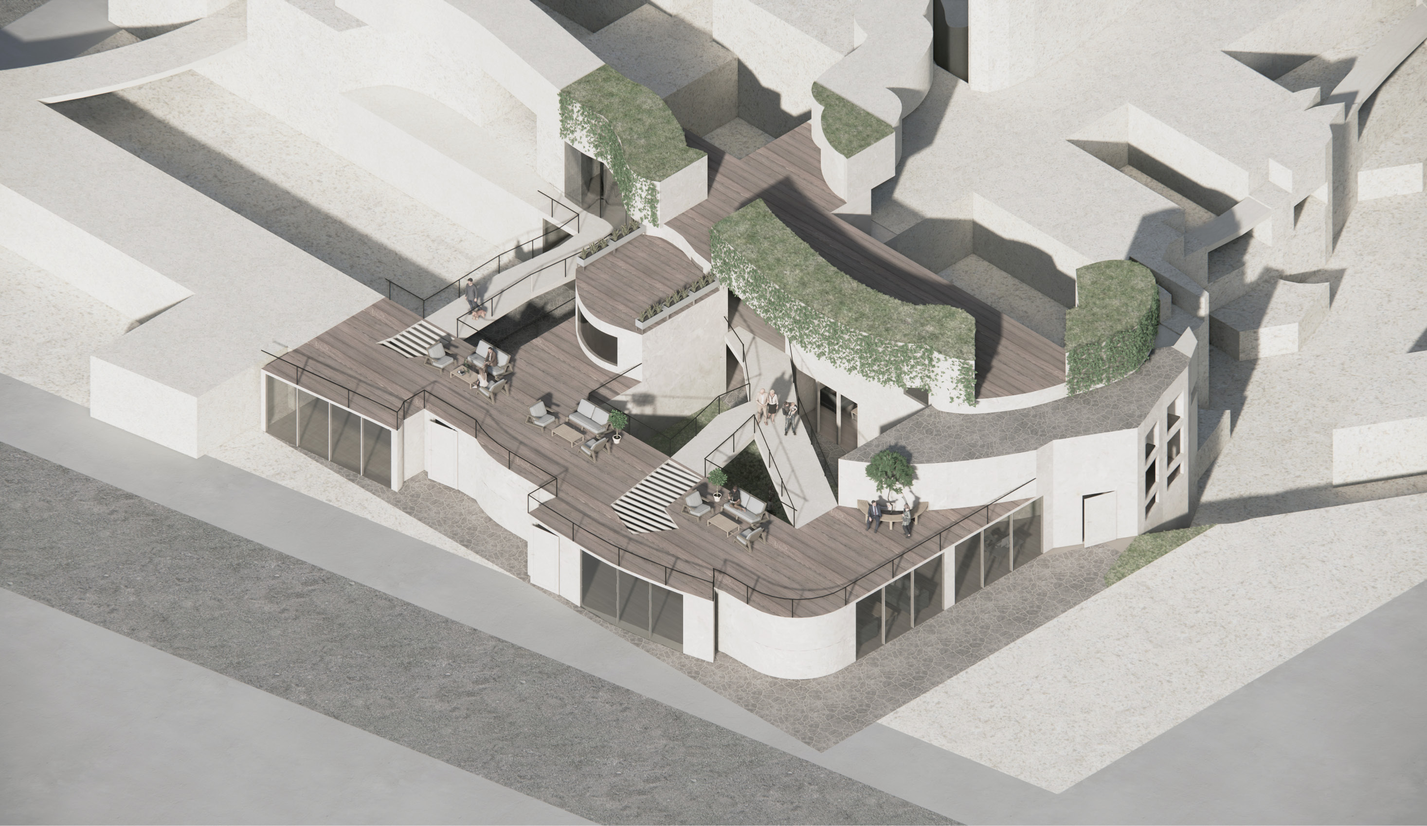
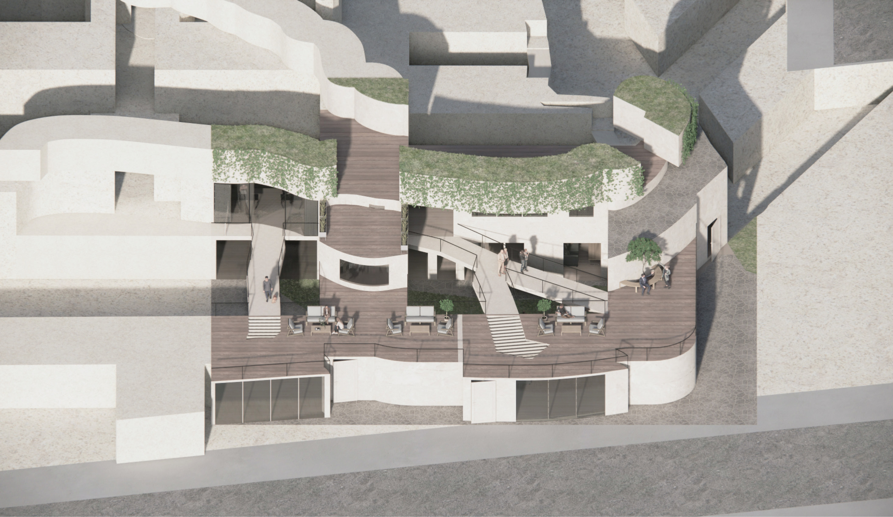
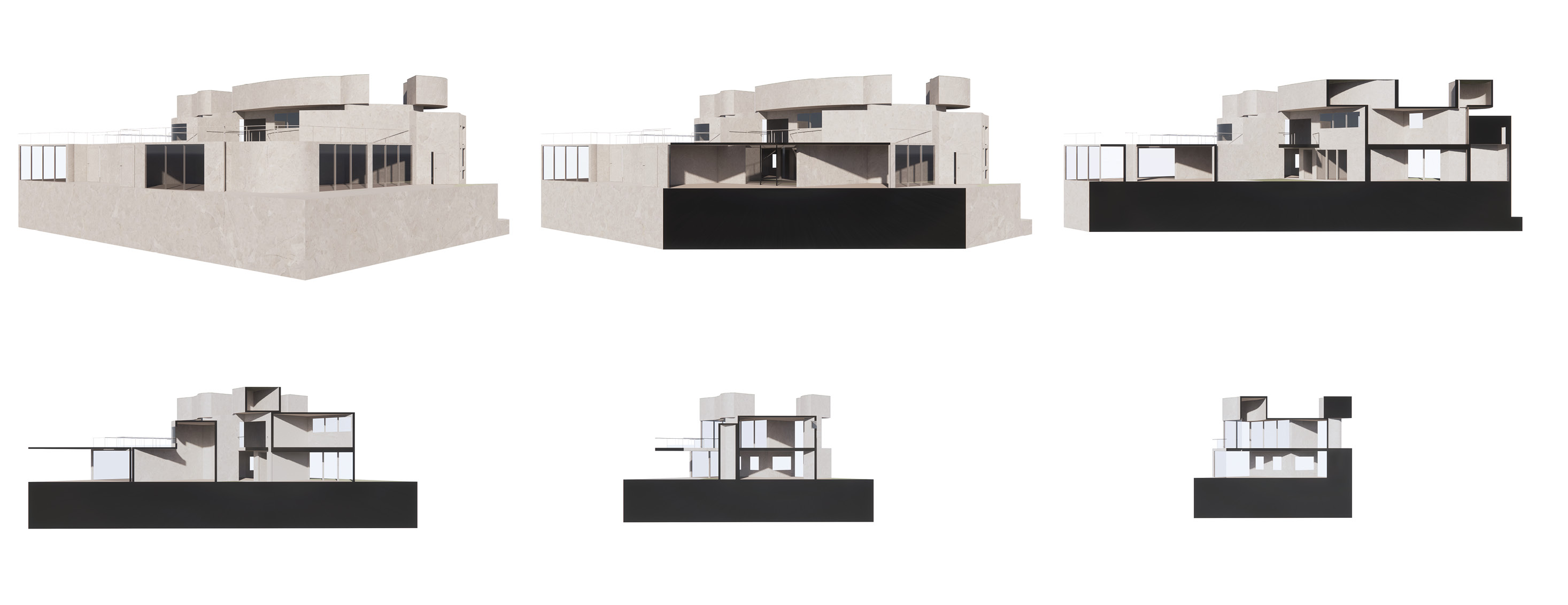
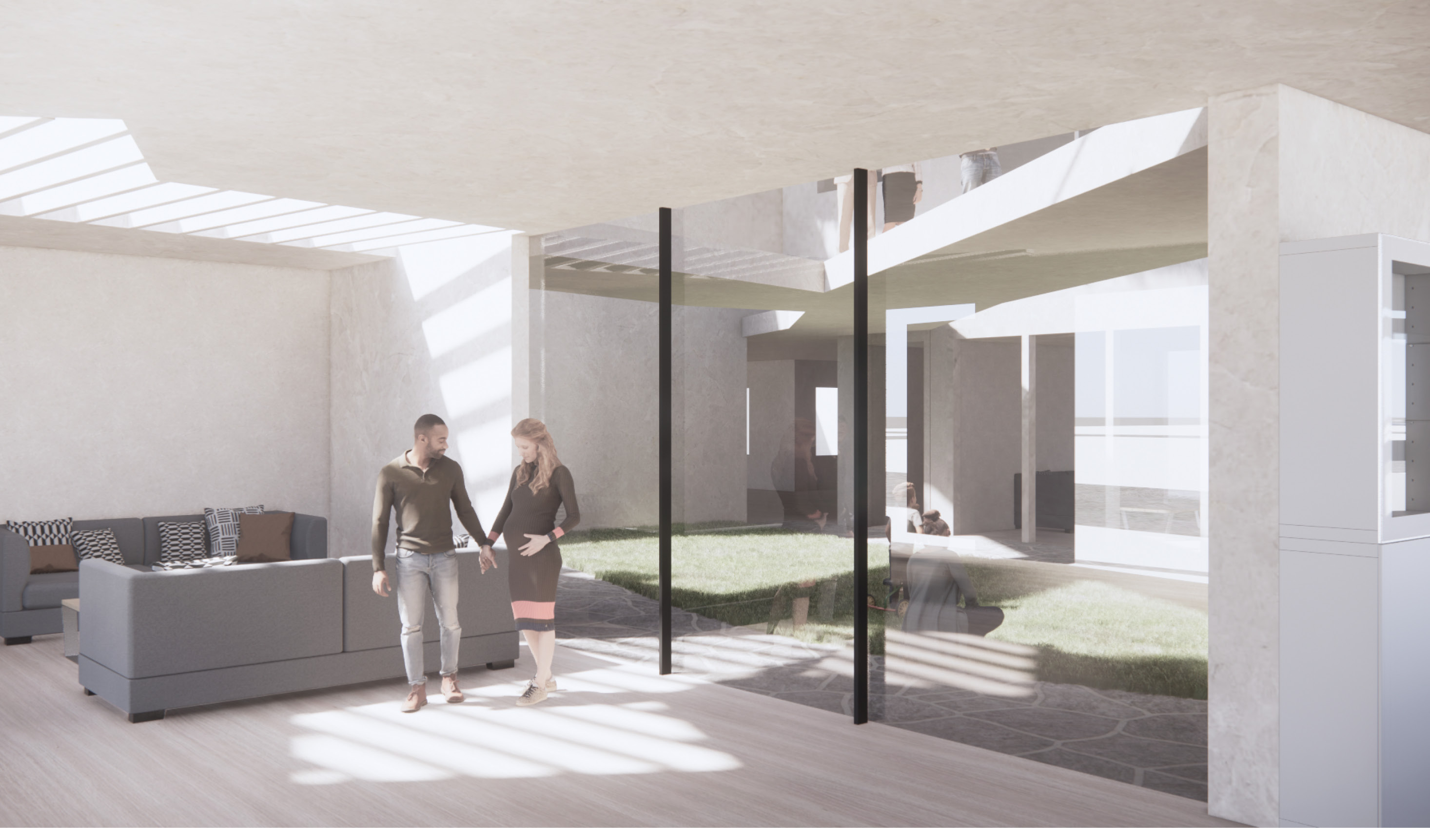
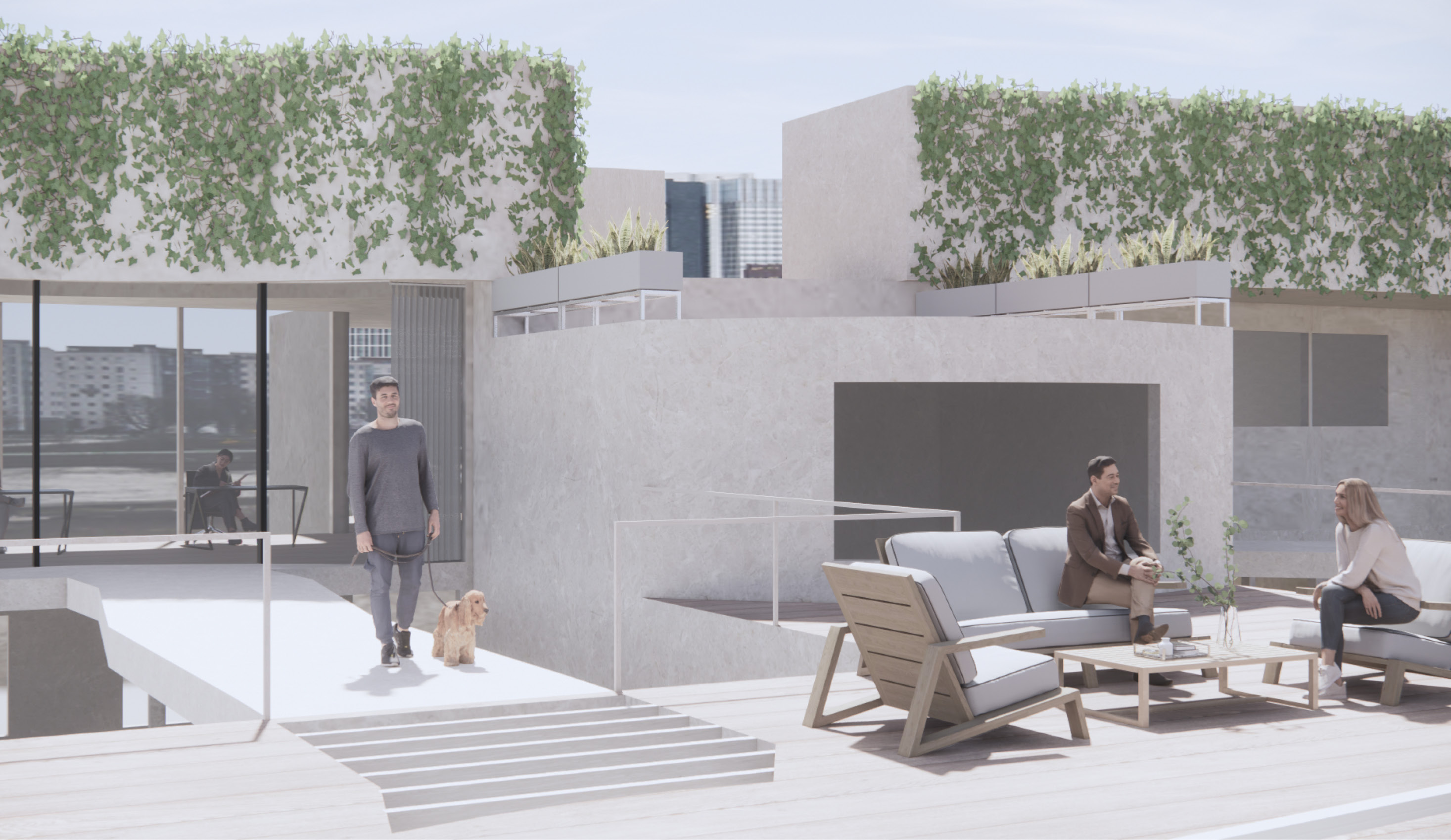
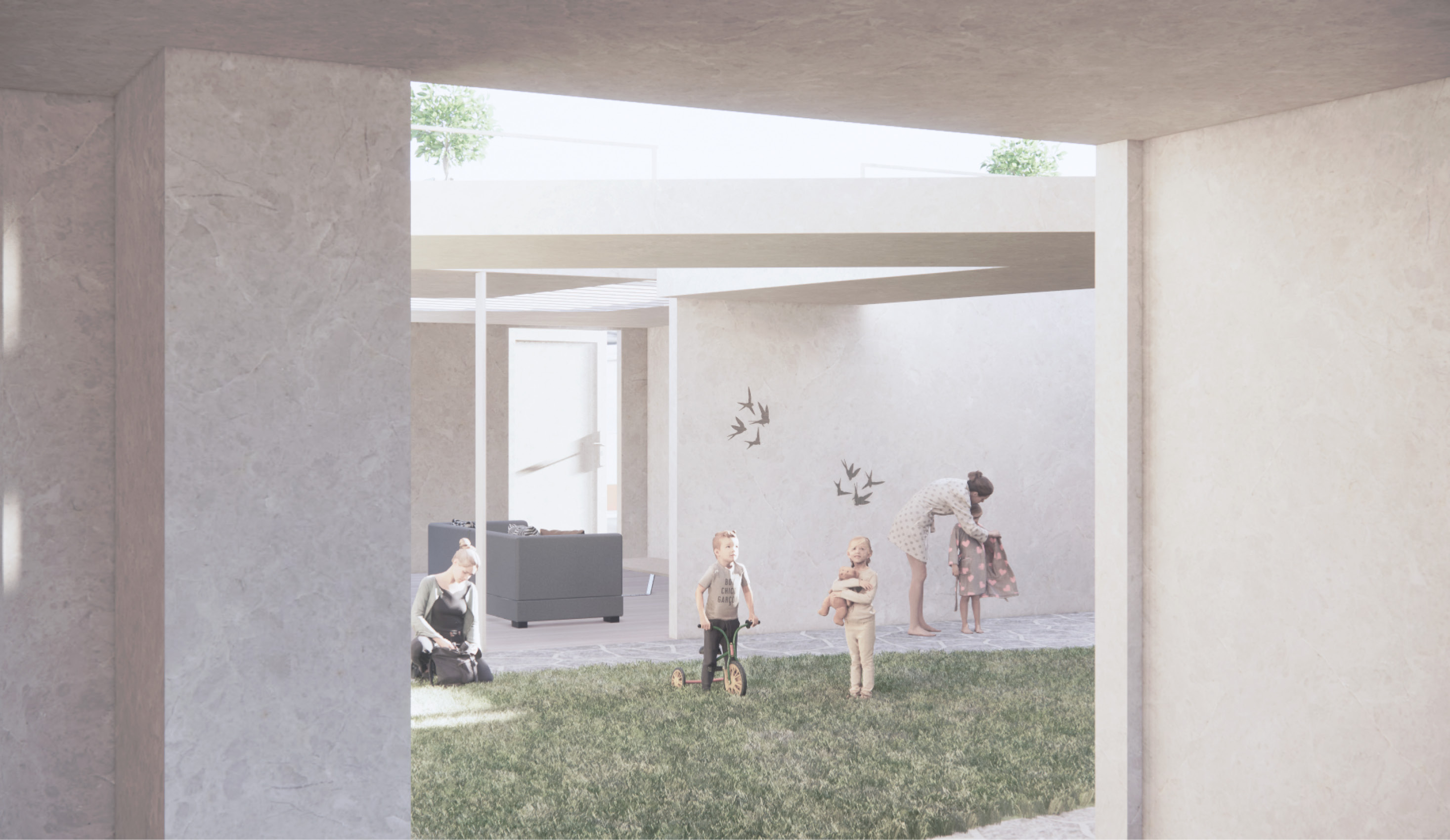
The project started with using different heights to identify the various programs within the 2D map. The misalignment of all maps grids defines new boundaries from the maps intersecting. In final project, the grids are used to identify the circulation and occupiable spaces throughout the site. The invisible boundaries between misaligned grids becomes circulations, spaces and skylights. The first chunk includes a sunken plaza, two small-size units, roof garden and two offices on highest level. The second chunk includes five family units, roof garden and inner courtyards.