542A_JessicaHenson_AsherGuzik_Thumbnail – Asher Guzik
Binz_542_BirdsEye_cover – Andrea Binz
ARCH542A_Jessica Henson_Yue Chen_Cover – Yue Chen
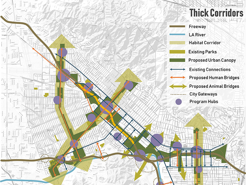
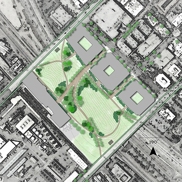
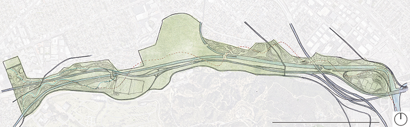
Arch542A_JessicaHenson_AnaMangino_Cover – Ana Mangino
ARCH542a_Henson_ColinAmos_CoverPhoto – Colin Amos
ARCH542_JessicaHenson_NehaliDoshi – Nehali Doshi
ARCH542a_JessicaHenson_KunyangGuo_Cover – Kunyang Guo
新版本
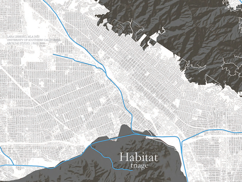
ARCH542a_JessicaHanson_Lebeiko_COVER – Lara Lebeiko
Arch542a_JessicaHenson_GabrielleCastriotta_Cover – Gabrielle Castriotta